Introduction
If you have ever tried to picture North Dakota on a map and drawn a blank, you are not alone. So what is the North Dakota map? It is a visual guide that shows the state’s borders, cities, rivers, highways, and its position within the northern Great Plains. Whether you need it for a school project, a road trip, or basic geography knowledge, this map gives you the full picture in one glance.
North Dakota often gets overlooked next to flashier states, and that is a shame because its layout tells an interesting story. From wide open prairies to the winding Missouri River, the state has more variety than people expect. In this article, you will learn exactly where North Dakota sits in the country, which states and country border it, and how different types of North Dakota maps serve different purposes. You will also find quick facts and answers to the questions people search for most.
Where Is North Dakota Located in the United States?
North Dakota sits in the north central part of the United States, right in the region known as the Upper Midwest. It forms part of the Great Plains and shares its northern edge with Canada. Any North Dakota map will show the state as almost a perfect rectangle, with the Missouri River curving through its middle section.
The state capital, Bismarck, sits near the center, while Fargo, the largest city, sits along the eastern edge close to Minnesota. Because of its location, North Dakota experiences a true continental climate with cold winters and warm summers. This geography plays a big role in the state’s farming economy and its wide, open landscapes. source: Encyclopedia Britannica
Neighboring States and Canada
A North Dakota map makes its borders easy to understand at a glance. The state touches three other states and one country, which gives it a unique spot on the northern edge of the country.
- Minnesota lies to the east
- South Dakota lies to the south
- Montana lies to the west
- Canada, specifically Manitoba and Saskatchewan, lies to the north
This mix of borders means North Dakota acts as a gateway between the American Midwest and Canadian prairies. Many trade routes and highways reflect this connection, which shows up clearly on any road map of the region.
Quick Facts About North Dakota
Here is a snapshot to keep handy whenever you look at a North Dakota map.
- Capital: Bismarck
- Largest city: Fargo
- Statehood: Became the 39th state on November 2, 1889
- Area: About 70,700 square miles
- Population: Around 780,000 people
- Bordering states: Minnesota, South Dakota, Montana
- Bordering country: Canada
- Nickname: The Peace Garden State
- Major river: Missouri River
- Time zones: Central and Mountain
These facts give context to the map itself, helping you understand not just where things are but why they matter.
Types of North Dakota Maps and When to Use Them
Not every map serves the same purpose. Depending on what you need, one type of North Dakota map will be far more useful than another. Below are the three most common types and the situations where each one shines.
Political Map
A political map of North Dakota shows city boundaries, county lines, and the state capital. It highlights how the state is divided for government and administrative purposes. This type of map works best for students studying civics, researchers looking at voting districts, or anyone curious about how the state is organized.
If you are planning to understand local elections or county services, a political map gives you the clearest layout. It also helps you see how cities like Fargo, Bismarck, and Grand Forks relate to one another within the state’s structure.
Physical Map
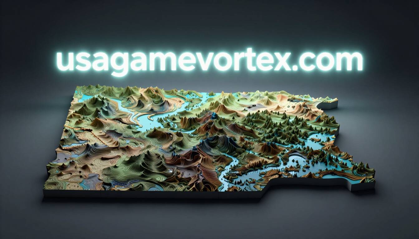
A physical map focuses on natural features instead of political lines. It shows rivers, plains, badlands, and elevation changes across the state. This map type helps you understand North Dakota’s landscape, including the dramatic terrain found in the Theodore Roosevelt National Park area.
Use a physical map when you want to study climate patterns, farmland distribution, or the path of the Missouri River. It is especially useful for geography students and travelers who want to understand the terrain before a trip.
Road Map
A road map of North Dakota is the most practical option for everyday use. It shows highways, interstates, and smaller roads connecting cities and towns. Interstate 94 and Interstate 29 are two major routes you will spot right away.
This map type works best for road trips, moving planning, or simply figuring out how far one city is from another. If you are driving through the state or mapping out a Midwest route, a road map saves you time and confusion.
Common Questions About the North Dakota Map
Where is North Dakota located exactly? North Dakota sits in the north central United States, bordered by Canada to the north. It belongs to the Great Plains region and lies west of Minnesota. Its central location within North America makes it a key link between American and Canadian transportation routes.
What country is north of North Dakota? Canada sits directly north of North Dakota. The provinces of Manitoba and Saskatchewan share this border. This connection makes North Dakota an important entry point for cross border trade and travel between the two countries.
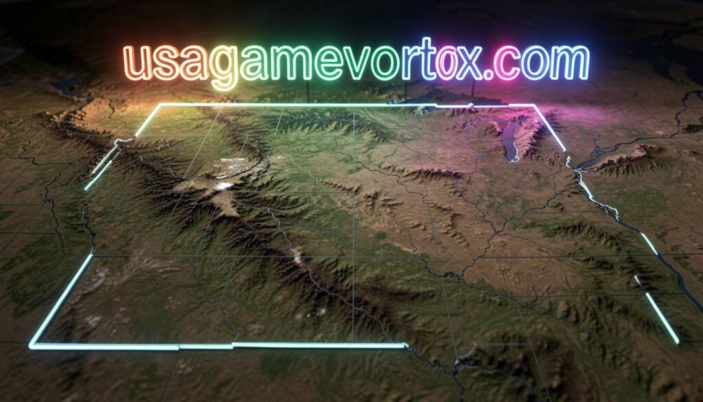
Is North Dakota flat or hilly? North Dakota has both flat plains and hilly terrain. The eastern part is mostly flat farmland, while the western part includes the rugged badlands. A physical map shows this contrast clearly, especially near Theodore Roosevelt National Park.
What is the biggest city in North Dakota? Fargo is the largest city in North Dakota. It sits on the eastern border next to Minnesota. Fargo serves as a major hub for business, education, and transportation within the state and the wider region.
How many counties does North Dakota have? North Dakota has 53 counties. Each county appears clearly on a political map, showing how the state divides its local government and services. This structure helps residents understand where to access county level resources.
Final Thoughts
A North Dakota map does more than show lines on paper. It tells you where the state sits in the country, how it connects to Canada, and how its landscape shapes daily life. Whether you need a political map for research, a physical map for geography, or a road map for your next trip, each version serves its own clear purpose.
Next time you plan a trip through the Midwest or study state geography, pull up a North Dakota map and see how much it reveals. Have a favorite spot in North Dakota or a road trip story to share? Feel free to pass this guide along to anyone planning their own journey through the Peace Garden State.
FAQs
1. What is the North Dakota map used for? It helps you understand the state’s location, borders, cities, and roads for travel, study, or research purposes.
2. Does North Dakota border Canada? Yes, North Dakota borders Canada along its entire northern edge, including Manitoba and Saskatchewan.
3. What states border North Dakota? Minnesota, South Dakota, and Montana all border North Dakota.
4. What is the capital of North Dakota? Bismarck is the capital, located near the center of the state.
5. Is North Dakota part of the Midwest? Yes, North Dakota is considered part of the Upper Midwest and the Great Plains region.
6. What river runs through North Dakota? The Missouri River runs through the central and western parts of the state.
7. How big is North Dakota? North Dakota covers about 70,700 square miles, making it the 19th largest state by area.
8. What is North Dakota known for? It is known for its farmland, badlands, oil production, and the Theodore Roosevelt National Park.
9. Which map type is best for road trips? A road map works best since it shows highways and routes between cities.
10. Are North Dakota maps updated often? Political and road maps update as county lines or highways change, so it helps to check recent sources for accuracy.
also read: usagamevortex.com
email: johanharwen@314gmail.com
Author Name: Sarah Mitchell
About the Author : Sarah Mitchell is a travel and geography writer who enjoys turning maps into stories. She has spent years covering American states for travel blogs and loves helping readers understand the places they plan to visit, one map at a time.